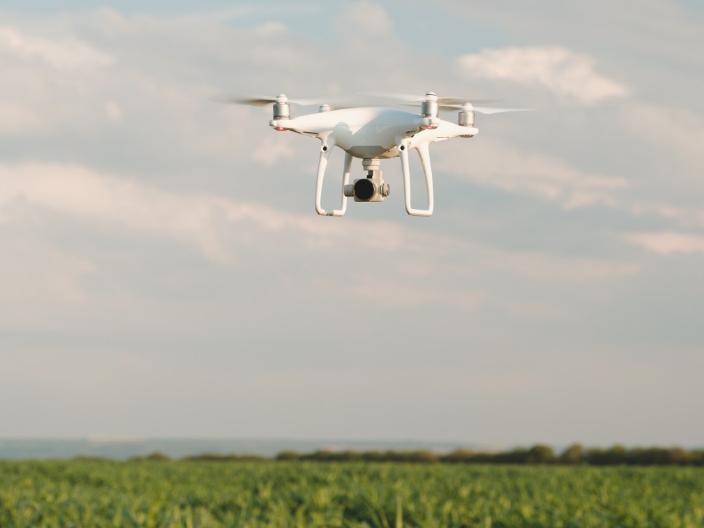
Mapping Services with Advance Drone Technology
Bluewave Waterworks, Inc. brings you the most cutting-edge lake mapping services available today.
Our use of state-of-the-art drone technology, combined with GPS surface mapping, 3-D contour imaging, and aerial and fly-over video resources, allows us to provide in-depth insights that elevate your understanding of your waterbody.
Our Comprehensive Mapping Services
Waterway Mapping and Studies
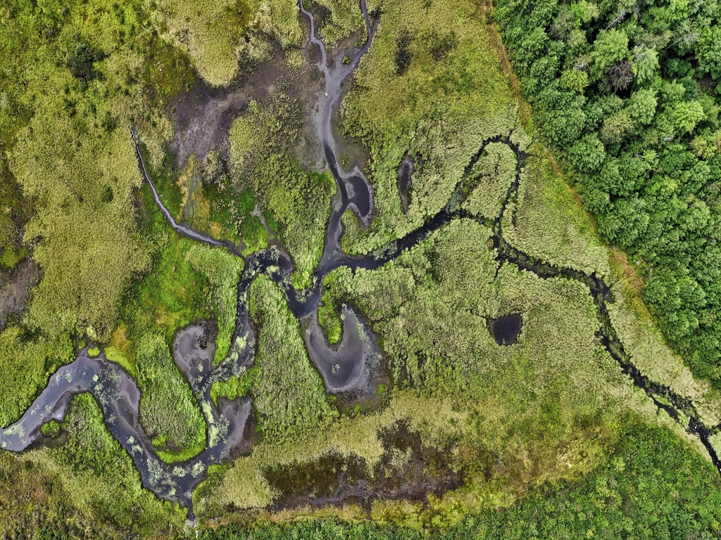
Gain a comprehensive view of your waterway through our advanced mapping services. We provide valuable data for informed decision-making, whether you're tracking sedimentation, planning dredging projects, optimizing your fishery, or seeking to understand the size, volume, and bottom contour of your pond.
Aquatic Vegetation Mapping
Our mapping solutions extend to the precise identification and mapping of aquatic vegetation. This information is vital for managing and mitigating the impact of vegetation on your waterbody.
Sedimentation Analysis
Understand the sedimentation patterns in your waterbody with our analysis services. This knowledge is crucial for planning and executing effective sediment management strategies.
Dredging Planning
Our expertise in mapping and analysis aids in dredging project planning, ensuring that resources are allocated efficiently to maintain your waterway's health and functionality.
Monitoring
Stay proactive in your waterbody management with our monitoring services. Regular updates and assessments enable you to make timely decisions for optimal results
Surface Area & Structural Component Verification
We will guide you in understanding not only the precise surface area of your waterbody but also the critical physical and structural components such as outlet structures, fountains, aerations systems, and fish habitats.